

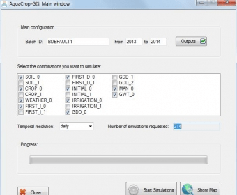
AquaCrop-GIS is a software program that makes it easier to use AquaCrop when a large number of simulations are required. It helps to create input and project files, and manage output files. The program prepares the necessary inputs and runs AquaCrop, and it displays the results in a geographic information system.
AquaCrop-GIS facilitates the use of AquaCrop when a high number of simulations is needed, simplifying the task of generating inputs and project files and the management of output files. The program prepares the required inputs and executes AquaCrop, and it presents the results in a geographic information system.


Comments